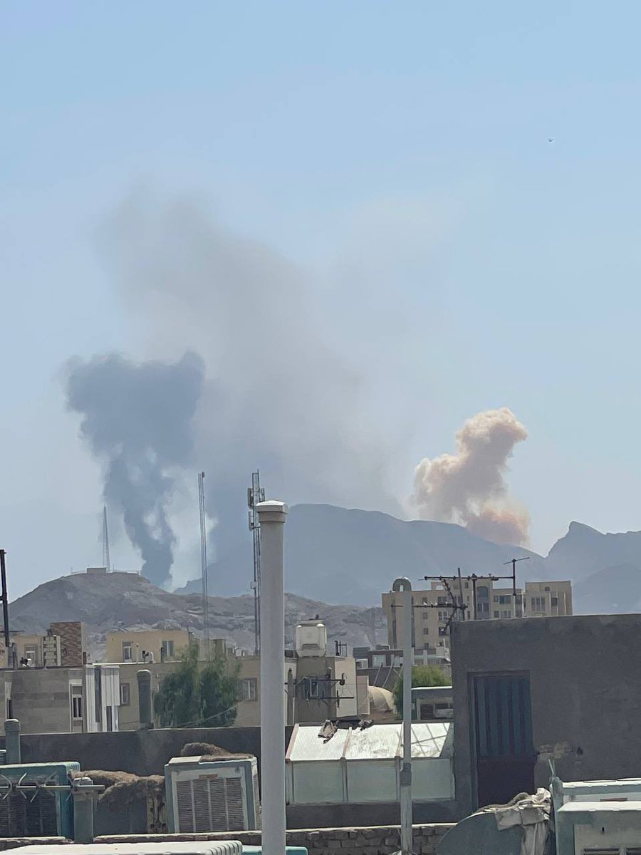
 5 Monat zuvor
Reporter: Werden Sie über AUKUS sprechen Trump: Was bedeutet das Reporter: Das australisch-amerikanische Verteidigungsbündnis
Earthquake of magnitude 5.1 - 41 km ENE of Ruteng, Indonesia
Earthquake of magnitude 4.7 - 217 km N of Tobelo, Indonesia
 5 Monat zuvor
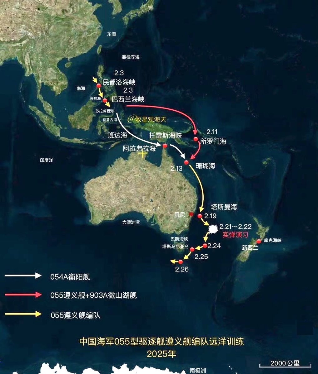
Karte aus chinesischen Medien, die die Route der vor der Küste Australiens operierenden PLA Navy Task Force zeigt
Earthquake of magnitude 4.7 - 60 km E of Modisi, Indonesia
Earthquake of magnitude 5.0 - 132 km WNW of Ternate, Indonesia
Earthquake of magnitude 4.7 - 65 km E of Modisi, Indonesia
Earthquake of magnitude 5.1 - 55 km ESE of Modisi, Indonesia
Earthquake of magnitude 4.9 - 58 km E of Modisi, Indonesia
Earthquake of magnitude 4.8 - 58 km ESE of Modisi, Indonesia
Earthquake of magnitude 4.9 - 61 km E of Modisi, Indonesia
Earthquake of magnitude 5.0 - 59 km E of Modisi, Indonesia
Earthquake of magnitude 4.9 - 54 km E of Modisi, Indonesia
Earthquake of magnitude 4.6 - 45 km ESE of Modisi, Indonesia
Earthquake of magnitude 4.9 - 42 km ESE of Modisi, Indonesia
Earthquake of magnitude 6.1 - 44 km E of Modisi, Indonesia
Earthquake of magnitude 5.1 - 209 km NW of Tobelo, Indonesia
Earthquake of magnitude 4.9 - 158 km NNE of Bitung, Indonesia
 5 Monat zuvor
Das Verteidigungsministerium hat weitere Bilder der chinesischen Kriegsschiffe in der Tasmansee veröffentlicht, die inzwischen wieder in die australische AWZ zurückgekehrt sind und sich etwa 300 Kilometer östlich von Hobart befinden.
Reuters zitiert einen australischen Beamten: Chinesische Marineübungen in der Tasmansee zwangen 49 Flüge, ihre Routen zu ändern
Earthquake of magnitude 4.7 - 43 km NE of Ambunti, Papua New Guinea
Earthquake of magnitude 4.8 - 283 km SSW of Pagar Alam, Indonesia
Earthquake of magnitude 5.2 - 122 km W of Panguna, Papua New Guinea
Earthquake of magnitude 4.9 - 26 km N of Waingapu, Indonesia
Earthquake of magnitude 6.0 - 84 km SSE of Lata, Solomon Islands
Earthquake of magnitude 4.9 - 56 km SW of Wewak, Papua New Guinea
Earthquake of magnitude 5.0 - 292 km S of Bengkulu, Indonesia
Earthquake of magnitude 5.1 - 296 km SSW of Pagar Alam, Indonesia
Earthquake of magnitude 5.4 - 125 km SSE of Panguna, Papua New Guinea
Earthquake of magnitude 4.9 - 127 km S of Panguna, Papua New Guinea